
Landslides pose an increasing hazard to people, livestock, buildings and infrastructures

Rockfalls are a type of fast-moving landslide that happens when rock or earth falls, bounces, or rolls from a cliff or down a very steep slope
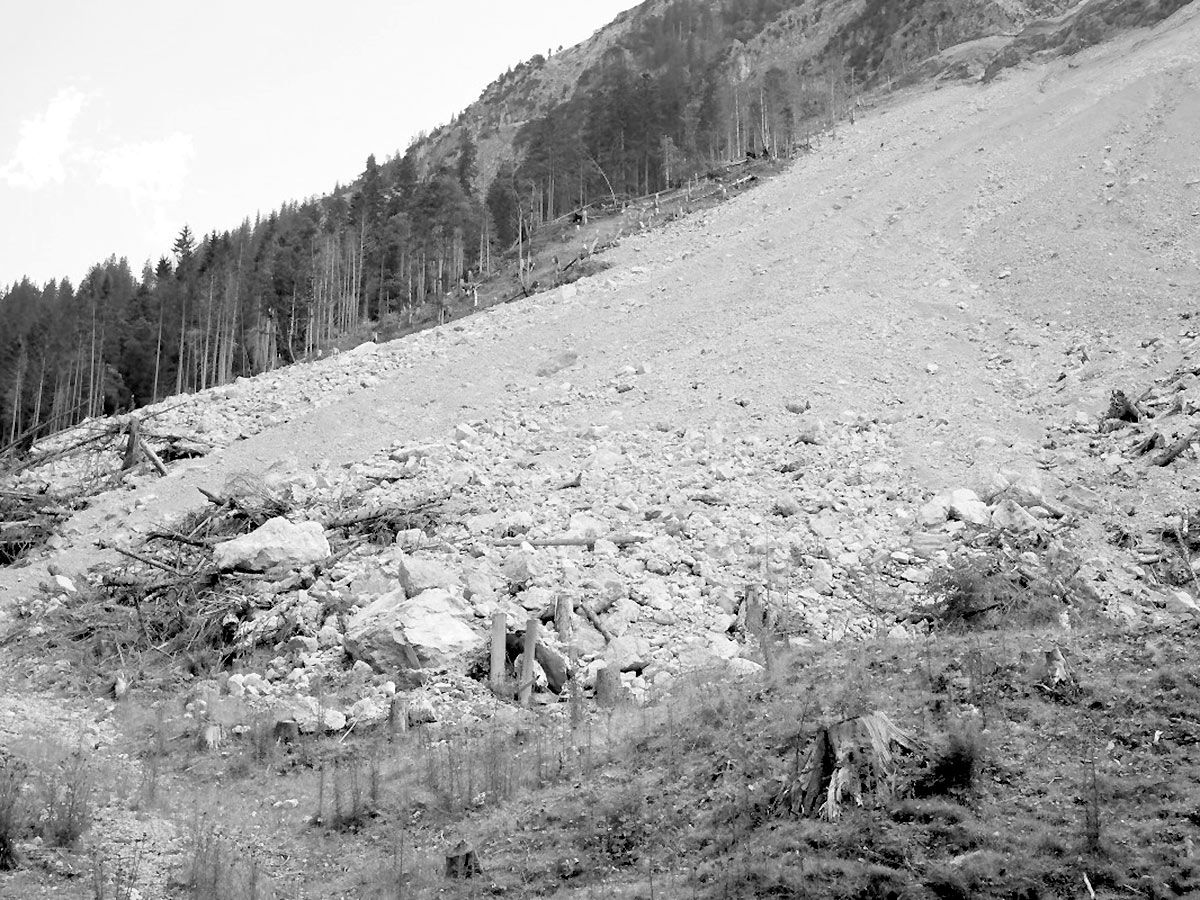
Debris avalanche from an unstable side of a mountain
Warning: Illegal string offset 'values' in /srv/vhost/everestgeophysics.com/home/html/wp-content/plugins/thegem-elements/inc/shortcodes/shortcodes.php on line 62
Warning: Invalid argument supplied for foreach() in /srv/vhost/everestgeophysics.com/home/html/wp-content/plugins/thegem-elements/inc/shortcodes/shortcodes.php on line 64
GEOLOGICAL HAZARDS applications
Landslides represent a major threat to human life, property, buildings, infrastructure, and natural environments in most mountainous and hilly regions of the world.
Landslides are defined as the gravitational movement of a mass of rock, earth, or debris down a slope, which are basically described by two characteristics: First, the material involved (rock, rockdebris, earth) and second, the type of movement (falls, topples, slides, spreads, flows).
The occurrence and reactivation of landslides are conditioned by several contributing factors related to bedrock and soil properties, including slope morphology, relief energy, or land-use cover.
Even though the catastrophic impact of landslides is not totally unavoidable, it can be significantly reduced by increasing the capacity to assess and predict the risks and using different mitigation methods.
Geophysical monitoring of landslides can provide insights into spatial and temporal variations of subsurface properties associated with slope failure. Recent improvements in equipment, data analysis, and field operations have led to a significant increase in the use of such techniques in monitoring. Geophysical methods complement intrusive approaches, which sample only a very small proportion of the subsurface, and walk‐over or remotely sensed data, which principally provide information only at the ground surface.
Advances in geophysical instrumentation, data processing, modeling, and interpretation in the context of landslide monitoring are significantly improving the characterization of hillslope hydrology and soil and rock hydrology and strength and their dynamics over time.
Active and passive seismic methods are the most employed geophysical methods in landslide characterization and monitoring. Electrical methods are also commonly used in landslide investigations.
The complementary nature of certain methods to map the distribution of subsurface moisture and elastic moduli greatly increases the predictive and monitoring capacity of early warning systems in landslide settings.